Eritrea
Eritrea is situated in the Horn of Africa, bordered by Sudan to the west and Djibouti and Ethiopia to the south. Its geographical coordinates are approximately 15°N latitude and 39°E longitude. Key points of interest include the capital city, Asmara, renowned for its Italian colonial architecture, and the scenic Barka River, which flows through the region. Discover the captivating topography and infrastructure of Eritrea through our detailed vector map.
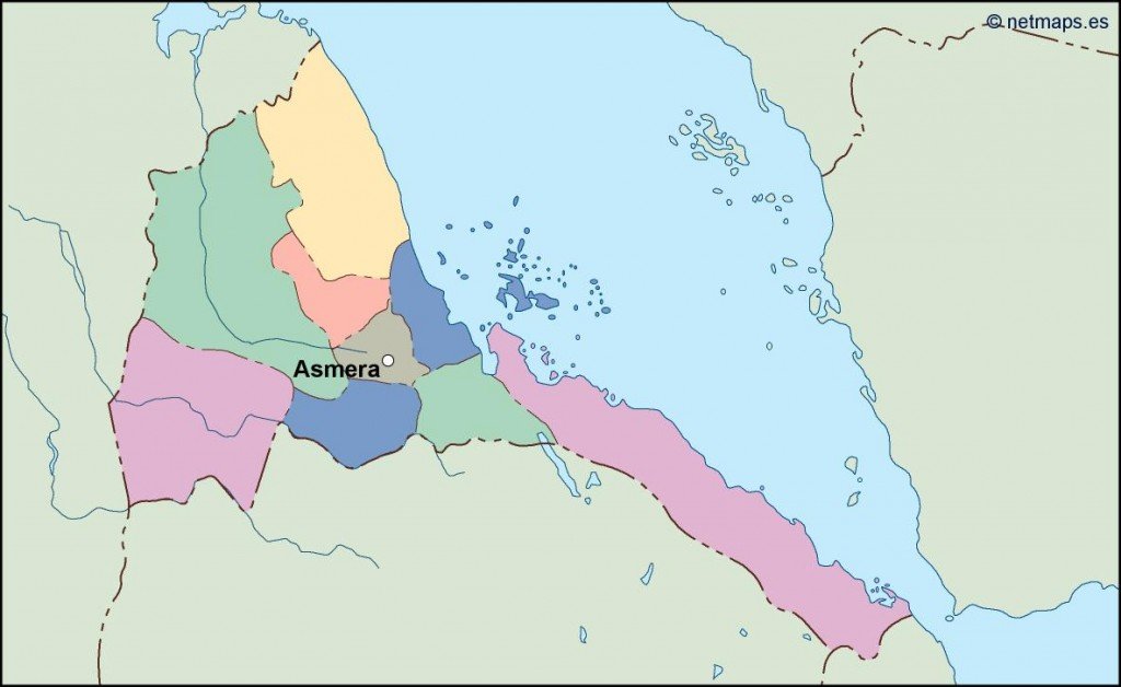
Our digital vector map of Eritrea is available in EPS and AI Illustrator formats, ensuring full compatibility with major design software. With fully editable layers, customization is a breeze, allowing designers to tailor the map to their unique needs. This vector map is perfect for both professional and personal use.
Experience a seamless delivery process with instant downloads available via WeTransfer and email, ensuring you receive your vector map of Eritrea promptly. Whether for educational purposes, presentations, or design projects, obtaining your map has never been easier.
With full reproduction rights included, you can confidently utilize the vector map of Eritrea across various platforms. Our clients span over 140 countries, underscoring the global demand for our high-quality, editable maps. Transform your projects with this invaluable resource today!