Madagascar blind
The vector map of 'Madagascar blind' is an essential tool for geographers and designers, detailing the unique geography of Madagascar, located off the southeast coast of Africa. With coordinates approximately 20°S latitude and 47°E longitude, this map highlights important features such as the capital city, Antananarivo, the meandering rivers like the Betsiboka, and the borders with neighboring countries.
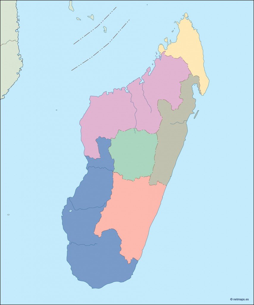
Available in versatile digital formats, including EPS and AI Illustrator, the Madagascar blind vector map boasts fully editable layers, allowing customization for various projects. This flexibility makes it suitable for educational purposes, presentations, or graphic design applications.
Upon purchase, users can enjoy the convenience of instant downloads, delivered securely via WeTransfer and email. This ensures that you have quick access to the materials needed for your work without delay.
Clients across over 140 countries can rest assured, as the map comes with full reproduction rights. This comprehensive usage license allows for diverse applications, making it an invaluable resource for professionals worldwide.