Lesotho presentation 2025-11-22 06:00:24
Lesotho is a landlocked country in Southern Africa, completely surrounded by South Africa. Nestled in the Maloti Mountains, its geographical coordinates are approximately 29.5° S latitude and 28.5° E longitude. Notable highlights include the vibrant capital city of Maseru, the picturesque Caledon River forming part of its border, and various national parks that showcase the country's stunning landscapes.
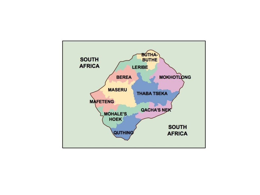
Our vector map of Lesotho is available in high-quality digital formats, including EPS and AI Illustrator. The design features fully editable layers, allowing users to customize elements for their presentations seamlessly. This ensures the vector map meets diverse project requirements, from educational materials to professional reports.
For your convenience, the vector map can be instantly downloaded via WeTransfer or directly through email. This efficient delivery method ensures that you can access your files without delay, enabling you to incorporate the map into your projects right away.
All purchases come with full reproduction rights, granting clients the ability to use the vector map without restrictions in over 140 countries. This makes it an excellent choice for businesses, educators, and designers looking to enhance their presentations with high-quality map visuals of Lesotho.