Chile presentation
The vector map of Chile presentation showcases the country's stunning geography, located along the southwestern edge of South America. Spanning from the Atacama Desert in the north to the frigid landscapes of Patagonia in the south, Chile's coordinates range approximately from 17°S to 56°S. Key highlights include Santiago, the capital city, the mighty Mapocho River, and its extensive borders with Argentina, Bolivia, and Peru, making it a remarkable visual for geography enthusiasts and educators alike.
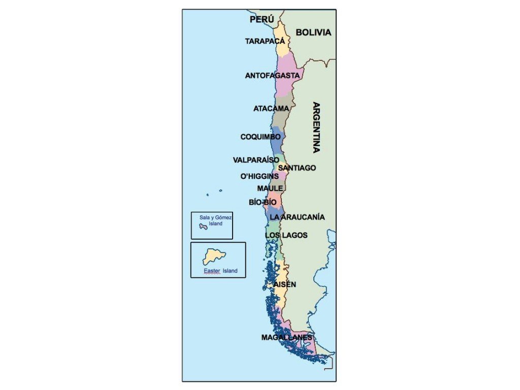
Available in versatile formats such as digital vector EPS and AI Illustrator, our Chile map features fully editable layers, allowing you to customize it to fit any project seamlessly. Whether you are creating promotional materials, educational content, or presentations, this detailed vector map offers the flexibility you need.
Experience the convenience of instant delivery with our vector map of Chile. Access it quickly via WeTransfer or receive it directly through email, ensuring you can start your project without delay. Our user-friendly service is designed for efficiency.
With full reproduction rights included, our vector map allows you to use it freely across various applications. Join clients in over 140 countries who trust our resources for their projects, and elevate your work with the comprehensive vector map of Chile.