Puerto rico political
Discover the Puerto Rico political vector map, an essential tool for understanding the geography of this vibrant Caribbean island. Located in the northeastern Caribbean Sea, Puerto Rico is an unincorporated territory of the United States. Its coordinates of approximately 18.2208° N latitude and 66.5901° W longitude highlight key locales like San Juan, the capital city, along with significant rivers such as the Río Grande de Loíza and its various borders with the Atlantic Ocean and the Caribbean Sea.
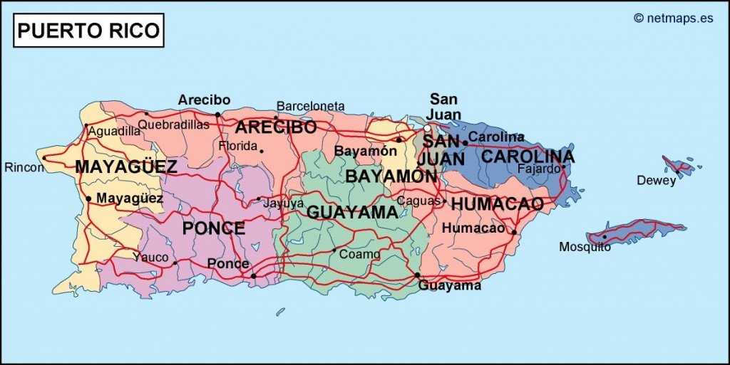
This vector map is available in multiple digital formats, including EPS and AI Illustrator files, ensuring complete compatibility with your design software. Fully editable layers make customization a breeze, allowing users to tailor the map to their specific needs.
After purchase, enjoy the convenience of instant delivery through WeTransfer and direct email, making it easy to access your vector map of Puerto Rico quickly, no matter where you are.
With full reproduction rights included, you can confidently use this map in various projects across the globe, already trusted by clients in over 140 countries. Elevate your work with the Puerto Rico political vector map today!