Portugal political
Portugal, located in Southern Europe on the Iberian Peninsula, is bordered by Spain to the east and the Atlantic Ocean to the west. With coordinates approximately 39.4° N latitude and 8.3° W longitude, its diverse geography includes significant cities like Lisbon and Porto, as well as major rivers such as the Tagus and Douro. A detailed vector map of Portugal political showcases these features, making it an essential tool for geographic studies and planning.
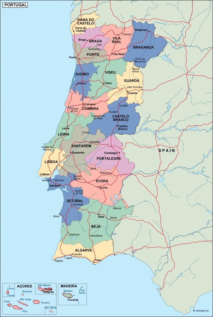
Available in popular digital formats such as EPS and AI Illustrator, this vector map is fully editable, allowing users to customize layers as needed. Whether for educational purposes, presentations, or design projects, this adaptability enhances the user experience, catering to various needs.
Upon purchase, you can enjoy instant delivery of the vector map via WeTransfer or email, ensuring you have immediate access to crucial geographic information. This swift delivery streamlines your project timeline and allows for quick integration into your work.
With full reproduction rights included, this vector map is ideal for professionals and businesses in over 140 countries. Clients can confidently utilize this resource for commercial projects, ensuring compliance and legal safety while enhancing their geographical presentations with high-quality visuals.