Cape verde blind
The vector map of Cape Verde, often referred to as 'Cape Verde blind,' offers detailed geographical insights into this beautiful island nation located in the central Atlantic Ocean. Situated approximately 570 kilometers off the coast of West Africa, Cape Verde consists of an archipelago of ten volcanic islands. Key locations on this map include the capital city, Praia, and the picturesque island of Santiago. The geographical coordinates of Cape Verde are 14.9330° N latitude and 23.5133° W longitude, highlighting its strategic placement within the Atlantic.
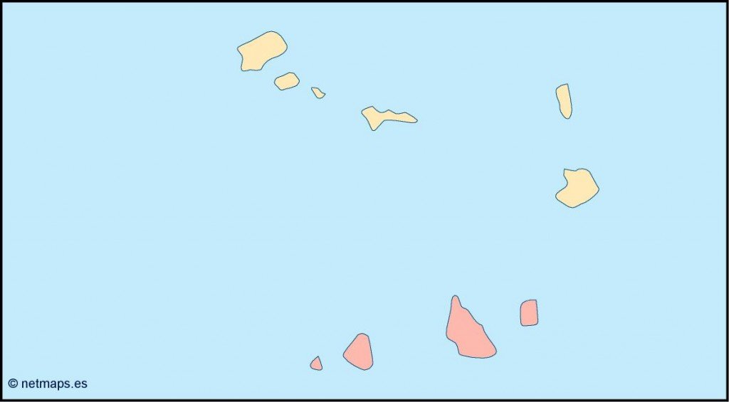
Available in versatile digital formats like EPS and AI Illustrator, the vector map of Cape Verde ensures full editability, allowing customers to customize layers as needed for their projects. This flexibility empowers designers to create tailored visual content that meets their specific needs, making it an essential tool for cartographers and graphic designers alike.
Upon purchase, the vector map is delivered instantly via WeTransfer and email, providing a seamless experience for clients. This quick delivery method means you can start your projects without delay, giving you the advantage of efficiency in your creative work. The immediate access to digital files streamlines the design process, ensuring you have everything you need at your fingertips.
With full reproduction rights included, clients from over 140 countries can