Guyana blind
The vector map of 'Guyana blind' is a detailed representation of this South American country, sitting between Brazil to the south and Suriname to the east, with the Atlantic Ocean to the north. Guyana's coordinates are approximately 4.8600° N latitude and 58.9302° W longitude. Key geographical points include its capital, Georgetown, the mighty Essequibo River, and its extensive borders that make it a unique destination for exploration and study.
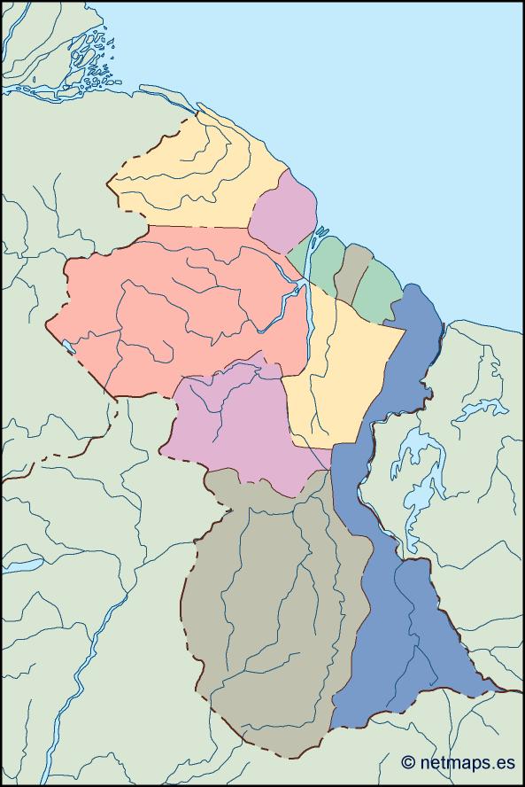
This vector map is available in digital formats such as EPS and AI Illustrator, offering fully editable layers for enhanced customization. With these formats, users can easily manipulate and modify the map for various applications, ensuring a perfect fit for any project requirement.
Delivery of the vector map is seamless, with instant download options available via WeTransfer and email. This efficient delivery system ensures you have immediate access to the map whenever you need it.
Included with your purchase are full reproduction rights, granting the freedom to use the vector map in any project or presentation. Our clientele spans over 140 countries, providing you with the assurance and quality that comes from global reach and expertise.