Netherlands presentation
The vector map of the Netherlands presentation offers precise geographical details, showcasing the country's location in North-Western Europe. The Netherlands spans coordinates 52.1326° N, 5.2913° E, bordering Belgium and Germany, with key points including cities like Amsterdam, Rotterdam, and Utrecht, and rivers such as the Rhine and Meuse. This detailed mapping serves as an essential resource for geographic, educational, and professional needs.
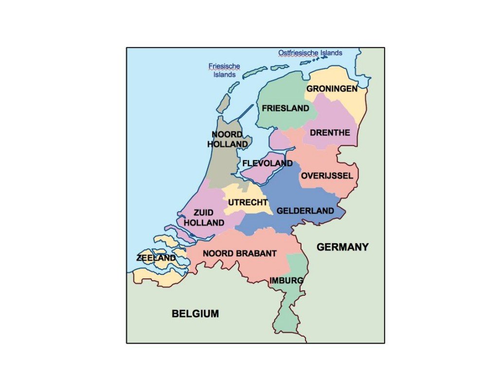
Our vector map is available in multiple formats, including digital EPS and AI Illustrator, ensuring full compatibility with various design software. Each layer is fully editable, allowing users to customize colors, annotations, and other elements seamlessly, making it an ideal choice for presentations and projects that require detailed geographic insights.
Delivery is quick and efficient, with instant download options available via WeTransfer or directly through email. This ensures you can access your vector map of the Netherlands presentation without delay, ready for immediate use in your projects.
Clients can enjoy full reproduction rights with their purchase, allowing for limitless use in over 140 countries. This means you can confidently utilize the vector map in commercial and personal projects, ensuring a valuable resource that meets diverse needs across the globe.