Togo political
Togo is a small West African nation located between Ghana and Benin, positioned along the Gulf of Guinea. Its geographical coordinates are approximately 8°N latitude and 1°E longitude. The capital city, Lomé, lies on the coast, while the Togo River traverses the interior, forming natural borders with neighboring countries. The vector map of Togo political highlights significant features such as cities, rivers, and borderlines for better visualization.
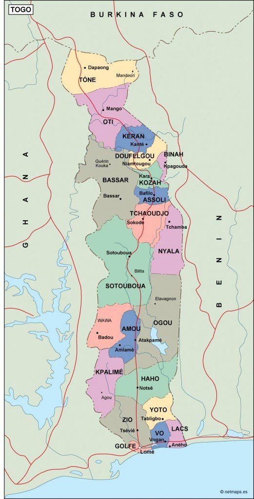
Available in multiple digital formats, the vector map of Togo political can be accessed as EPS or AI Illustrator files, featuring fully editable layers. This flexibility allows designers to customize the map according to their specific needs easily. Users can manipulate colors, labels, and additional graphics seamlessly, ensuring the perfect fit for any project.
Enjoy the convenience of instant delivery with the vector map of Togo political. Once purchased, you’ll receive a download link via WeTransfer and email, ensuring prompt access to your files. This efficient delivery method allows you to start your project without delay.
Clients worldwide, spanning over 140 countries, benefit from full reproduction rights included with their purchase of the Togo political vector map. This means you can use the map in various projects without concern, making it an excellent resource for businesses