Srilanka political
The vector map of Sri Lanka's political landscape is an invaluable resource for anyone interested in the country's geography. Located in South Asia, this island nation lies southeast of the Indian subcontinent, with coordinates approximately 7.8731° N latitude and 80.7718° E longitude. Key cities such as Colombo, the capital, and rivers like the Mahaweli flow through its diverse terrain, while borders define its connections with the ocean and neighboring nations.
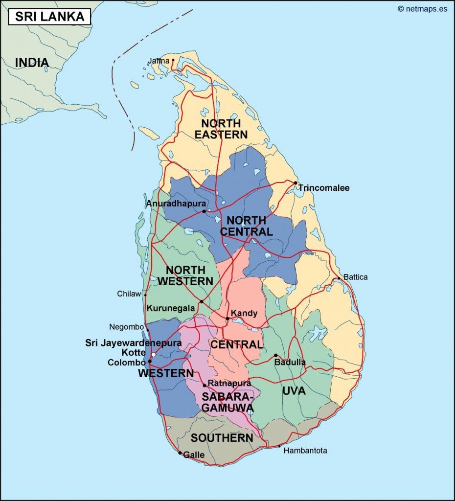
Available in digital vector formats such as EPS and AI Illustrator, this map offers fully editable layers, allowing users to customize or enhance their projects effortlessly. Whether you are a cartographer, designer, or academic, the map's versatility makes it a perfect fit for various applications.
Delivery is made incredibly convenient with instant downloads via WeTransfer and email, ensuring you have immediate access to your digital vector map of Sri Lanka without delay. This streamlined process is designed to cater to your urgent project needs.
Clients in over 140 countries enjoy full reproduction rights for this political map of Sri Lanka. This means that whether you’re creating educational materials, marketing collateral, or research presentations, you can use this high-quality resource without restrictions, empowering creators worldwide.