United kingdom
The vector map of the United Kingdom is an essential tool for understanding the country's geography. Located off the northwestern coast of mainland Europe, the UK comprises England, Scotland, Wales, and Northern Ireland, with coordinates approximately 55.3781° N latitude and 3.4360° W longitude. Key geographic features include major cities like London and Birmingham, the River Thames, and borders with the Atlantic Ocean and the North Sea, making it a vital reference for researchers and designers alike.
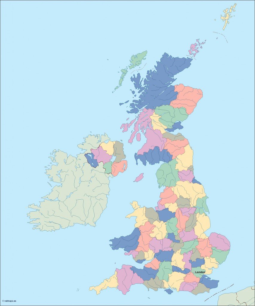
Available in versatile digital formats such as EPS and AI Illustrator, the vector map of the United Kingdom is fully editable, allowing users to customize layers and details as needed. This flexibility makes it ideal for a wide range of projects, whether for educational purposes, graphic design, or business presentations.
Instant delivery enhances convenience, with the vector map available for download via WeTransfer or email. You can start working on your projects without delay, ensuring a seamless experience from selection to use.
With full reproduction rights included, clients in over 140 countries trust the vector map of the United Kingdom for diverse applications. Whether it’s for print or digital use, you can utilize this map confidently, knowing you have the permissions you need for your work.