Venezuela presentation
The vector map of Venezuela presentation offers a detailed glimpse into this South American country, renowned for its diverse geography. Located on the northern coast, Venezuela spans from the Caribbean Sea to the Andes Mountains, with key coordinates at approximately 6°N latitude and 66°W longitude. Major cities like Caracas, vital rivers such as the Orinoco, and significant borders with Colombia and Brazil make this map an essential resource for understanding the region’s unique features.
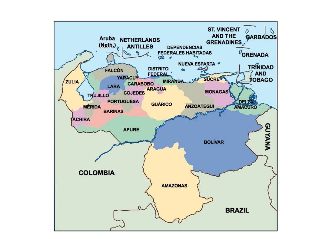
Available in digital vector formats like EPS and AI Illustrator, the Venezuela map is fully editable, enabling users to customize layers according to their needs. This flexibility allows for tailored projects, whether for educational purposes, business presentations, or cartographic studies.
Customers can enjoy the convenience of instant delivery, with the vector map sent via WeTransfer and email, ensuring quick access for immediate use. This streamlined process makes it easy to obtain high-quality geographical data promptly.
When purchasing the vector map of Venezuela, clients receive full reproduction rights, making it ideal for commercial use. With satisfied customers in over 140 countries, this product provides reliable mapping solutions for diverse applications worldwide.