Oresundsbron kort
The vector map of Oresundsbron kort showcases the stunning geography of the Oresund Bridge, which connects Sweden and Denmark. Located between Copenhagen and Malmö, this iconic structure spans the Oresund Strait with coordinates at 55.6056° N latitude and 12.5596° E longitude. Not only does it serve as a vital border crossing between the two countries, but it also highlights the beautiful coastal landscape and urban environments of both regions.
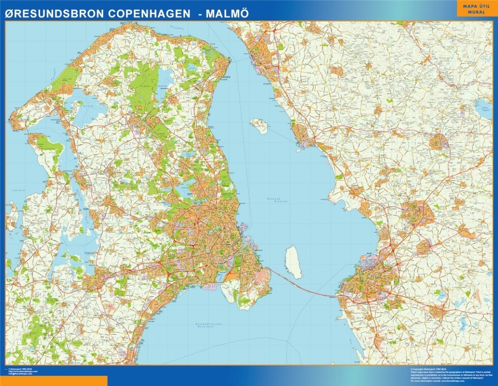
Available in digital formats like EPS and AI Illustrator, the Oresundsbron kort vector map is fully editable. This makes it easy for designers and planners to customize the layers to fit their specific project needs, ensuring a seamless integration into various design applications. The high-quality graphics maintain clarity and detail, perfect for professional use.
Upon purchase, you can enjoy instant delivery via WeTransfer and email, making it convenient to access the vector map quickly. This instant download feature allows users to start their projects without any delays, ensuring a smooth workflow for design professionals.
Clients in over 140 countries benefit from the full reproduction rights included with the Oresundsbron kort vector map. This means that you can use the map for commercial projects, presentations, and other creative endeavors without worrying about licensing issues, providing