Armenia political
The vector map of Armenia political highlights the country's unique geography, nestled in the South Caucasus region at coordinates 40.0692° N, 45.0382° E. This landlocked nation is bordered by Turkey, Georgia, Azerbaijan, and Iran, featuring key points such as the vibrant capital Yerevan and the majestic Aras River. The map provides a clear representation of Armenia's political divisions and landmarks.
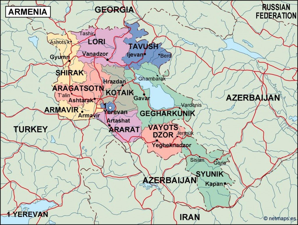
Available in versatile digital vector formats like EPS and AI Illustrator, this map is designed with fully editable layers that allow for easy customization to suit your needs. Users can manipulate the design seamlessly, ensuring that it fits perfectly into any project.
Upon purchase, clients receive instant delivery via WeTransfer and email, making it convenient to access your map instantly. Enjoy the ease of having your files in hand without the wait.
With full reproduction rights included, this vector map of Armenia has been utilized by clients across over 140 countries, providing a valuable resource for educational, professional, and creative projects. Embrace the flexibility of this editable map to enhance your work.