Belgium
The vector map of Belgium offers a detailed depiction of this vibrant country located in Western Europe. Bordered by France, Germany, Luxembourg, and the Netherlands, Belgium's geographical coordinates are approximately 50.8503° N latitude and 4.3517° E longitude. Key highlights include major cities like Brussels, Antwerp, and Ghent, as well as significant waterways such as the Scheldt and Meuse rivers.
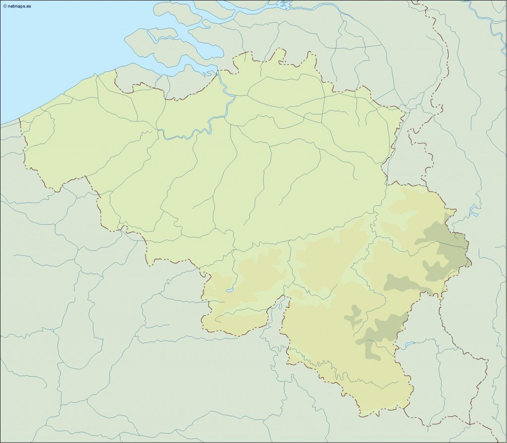
Designed for flexibility, this vector map is available in digital formats like EPS and AI Illustrator, ensuring fully editable layers perfect for customization. This allows designers to tailor the map for various projects, from educational materials to marketing campaigns, making it a versatile asset.
Once purchased, you can expect an instant download via WeTransfer or email, making access quick and effortless. This convenience allows you to begin your project without any delay, ensuring seamless workflow.
Clients across over 140 countries benefit from full reproduction rights included with the vector map. This gives users the freedom to utilize the map for personal or professional projects, making it an invaluable resource for anyone in need of high-quality geographical representations of Belgium.