Niger 2025-12-09 18:00:58
The vector map of Niger provides a detailed geographical representation of this landlocked country located in West Africa. Bordered by countries like Nigeria and Mali, Niger is known for its unique geography that includes the Niger River, the Aïr Mountains, and expansive desert terrains. Key cities such as Niamey, the capital, and Agadez are easily identifiable on the map, making it invaluable for educational and professional use.
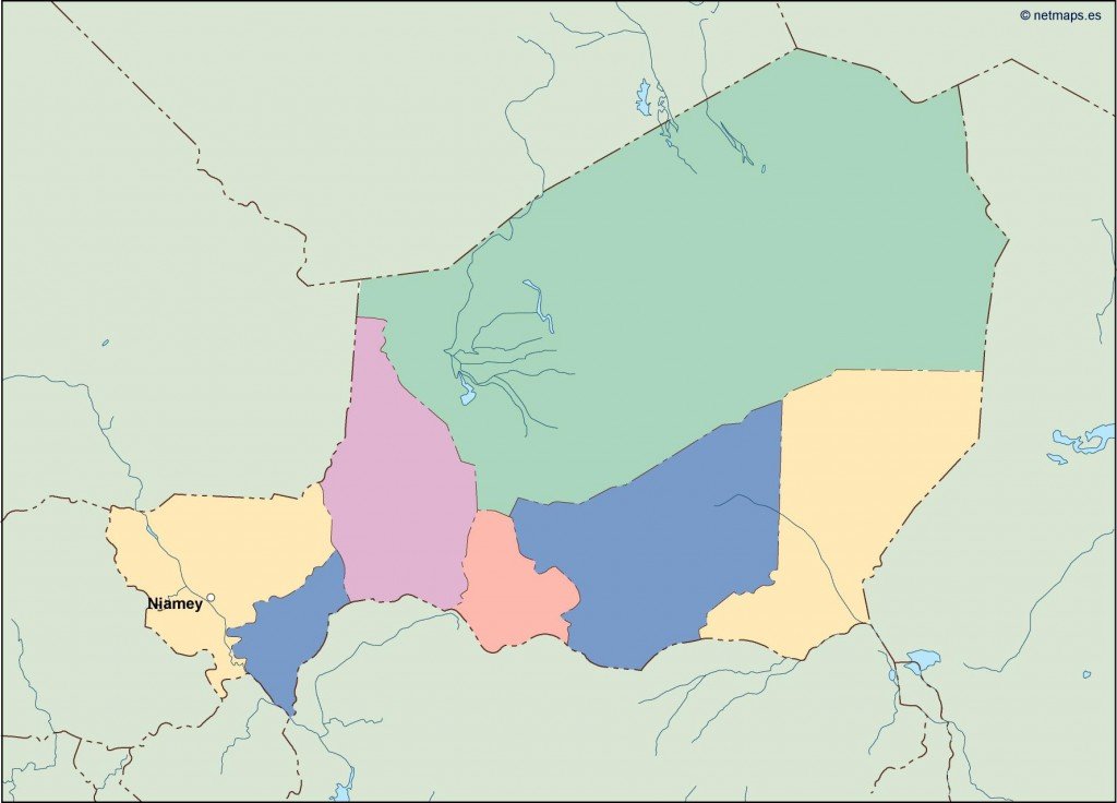
Available in digital vector formats like EPS and AI Illustrator, this map of Niger features fully editable layers. This flexibility allows users to customize the map according to their specific requirements, whether for presentations, research, or graphic design projects.
Delivery is quick and efficient, ensuring you receive your vector map of Niger instantly via WeTransfer or email. This amazing convenience allows you to access your map without delay, perfect for urgent projects.
Along with your purchase, full reproduction rights are included, giving you the freedom to use the vector map of Niger in any manner you choose. We proudly serve clients in over 140 countries, ensuring that your needs for high-quality mapping solutions are met globally.