Czech republic political
The vector map of the Czech Republic political provides an intricate representation of this Central European nation, located at the coordinates 49.8175° N, 15.4730° E. Encompassing regions like Bohemia and Moravia, the map highlights key cities such as Prague and Brno, alongside significant rivers like the Vltava and Elbe. It also outlines the country’s borders with Germany, Poland, Austria, and Slovakia, making it an essential tool for geographical studies.
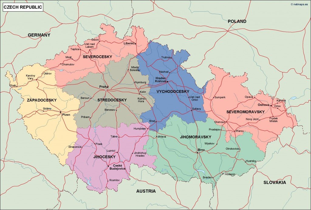
Available in digital vector formats such as EPS and AI Illustrator, this political map is fully editable, allowing users to customize layers to fit their project needs. Whether you're creating educational materials or planning a marketing campaign, this map serves as a versatile asset.
Delivery is hassle-free with instant download options available through WeTransfer and email, ensuring you can access your Czech Republic political vector map swiftly and seamlessly.
Clients from over 140 countries enjoy full reproduction rights with their purchase, providing peace of mind for businesses and individuals looking to use the map in various applications. Optimize your projects with this comprehensive and user-friendly vector map today.