Santo domingo
Discover the vibrant vector map of Santo Domingo, the capital of the Dominican Republic, nestled in the Caribbean region. This historic city, positioned at coordinates 18.4861° N latitude and 69.9312° W longitude, is bordered by the beautiful Ozama River. Key points include landmarks like Colonial Zone and Parque Mirador del Este, making it a vital cultural and geographical hub.
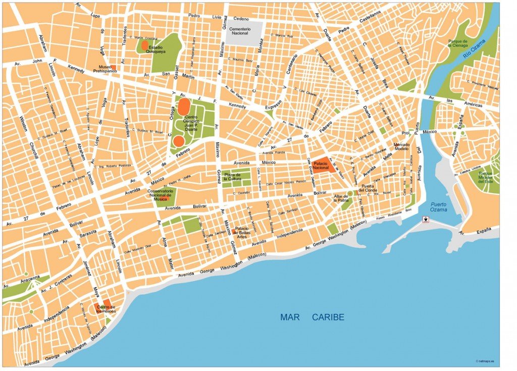
Our Santo Domingo vector map is available in multiple digital formats, including EPS and AI Illustrator. Each file features fully editable layers, allowing for customized presentations and easy manipulation of geographic details. This flexibility is ideal for designers and planners looking to create tailored visual content.
Enjoy instant access to your Santo Domingo vector map with our convenient delivery options. Receive your files quickly via WeTransfer or through email, ensuring you start your project without delay.
Clients from over 140 countries benefit from full reproduction rights, empowering you to use the Santo Domingo vector map for commercial and personal purposes. Transform your projects knowing you have legal access to high-quality, editable graphics.