Kiribati political
The vector map of Kiribati political is an essential resource for understanding the geography of this island nation located in the central Pacific Ocean. Comprised of 33 atolls and reef islands, Kiribati is situated between the coordinates of approximately 1°N and 14°N latitude and 169°E and 178°W longitude. Key points of interest include the capital city, Tarawa, and the various surrounding atolls that define its unique political boundaries.
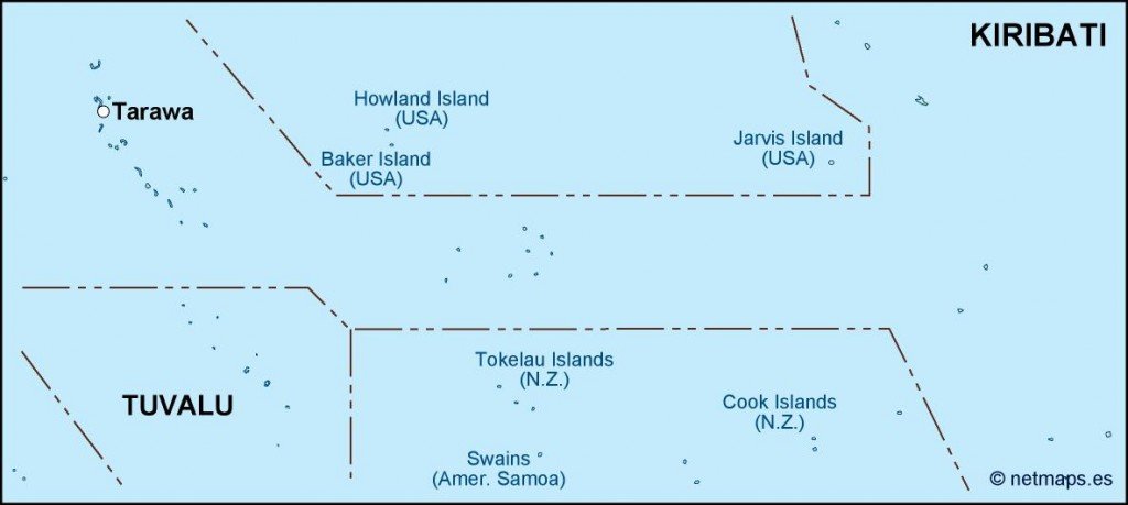
Available in digital vector formats like EPS and AI Illustrator, this map offers fully editable layers, making it perfect for graphic designers and cartographers seeking to customize or modify details. Whether you're working on a project or presentation, the flexibility of these formats ensures you can adapt the map to suit your specific needs effectively.
Upon purchase, the vector map of Kiribati is delivered instantly, allowing for immediate access via WeTransfer or email. This quick delivery means you can begin your project without delay, making it ideal for urgent tasks or last-minute requirements.
Included with your purchase are full reproduction rights, granting you the freedom to use the map as needed. Our clients span over 140 countries, reflecting the global appeal and versatility of this high-quality vector map of Kiribati political, perfect