Malawi political
The vector map of Malawi political showcases the country's geographic features, including its location in southeastern Africa at coordinates 13.5° S, 34.0° E. Malawi is bordered by Tanzania to the north, Mozambique to the south and west, and Lake Malawi to the east, featuring key cities like Lilongwe, the capital, and Blantyre. The Shire River is also significant, flowing through the country and adding to its scenic beauty.
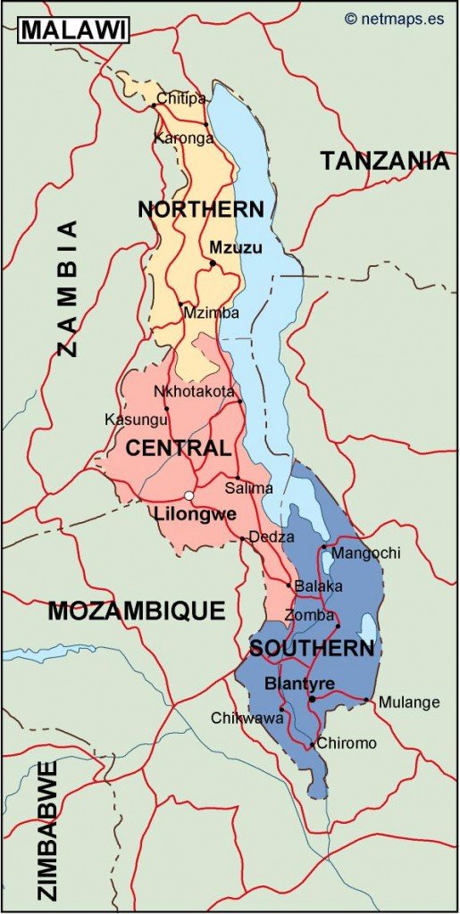
Available in digital vector formats like EPS and AI Illustrator, this map is designed with fully editable layers, enabling users to customize and enhance their projects easily. Incorporating your desired colors or markers is a breeze, making it ideal for presentations, educational materials, or travel planning.
Delivery is quick and efficient, with an instant download option through WeTransfer and direct email, providing immediate access to your Malawi political vector map. This ensures you can begin working on your project without delay.
When you purchase the vector map, you receive full reproduction rights, giving you the freedom to use it in multiple applications. Trusted by clients in over 140 countries, this product is perfect for designers, educators, and businesses seeking professional-quality maps.