Le puy carte
Le Puy-en-Velay, located in the Auvergne-Rhône-Alpes region of France, is renowned for its stunning geography. Nestled at coordinates 45.0438° N latitude and 3.8807° E longitude, it features the strategic confluence of the Loire and the Dolaizon rivers. This historic city is famous for its breathtaking volcanic hills and medieval architecture, making it a key focal point for visitors seeking to explore both natural and cultural landscapes.
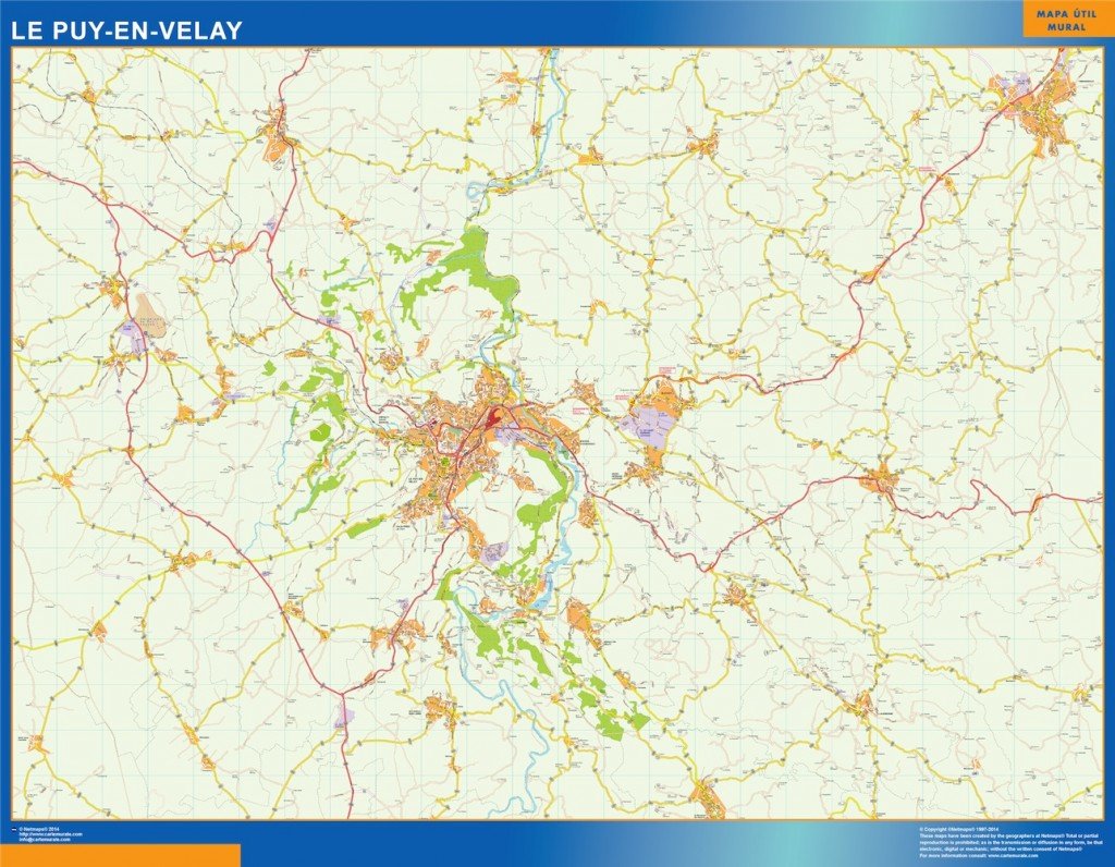
Our vector map of Le Puy carte comes in versatile digital formats, including EPS and AI Illustrator. It features fully editable layers, allowing designers and businesses to customize elements easily, ensuring that the map can be tailored for specific projects or presentations. This flexibility makes it an essential tool for urban planners and travel agencies alike.
Upon purchasing our vector map of Le Puy carte, you'll enjoy the convenience of instant delivery. The file is securely shared via WeTransfer and also sent directly to your email, ensuring quick access so you can start using your map immediately. This seamless service makes it easier than ever to incorporate our maps into your projects without delay.
With our vector map, you receive full reproduction rights, allowing for extensive use across various mediums. We've proudly served clients in over