Aalborg kort
Aalborg kort is a detailed vector map of Aalborg, located in the northern part of Denmark. This vibrant city sits at the northern end of the Limfjord, with coordinates 57.0489° N latitude and 9.9217° E longitude. Key points include the iconic Aalborg River and the city's proximity to the scenic coastal borders. The map captures essential landmarks and geographic features, making it an invaluable resource for both locals and visitors.
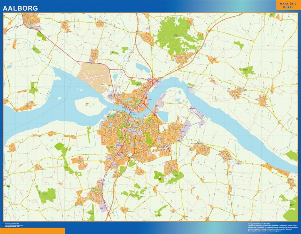
Designed for professionals, the Aalborg kort is available in digital vector formats such as EPS and AI Illustrator. It features fully editable layers, allowing users to customize elements effortlessly, enhancing project versatility. Whether for graphic design or urban planning, this vector map meets various needs.
Upon purchase, customers benefit from instant delivery through WeTransfer and email, ensuring you receive your Aalborg kort without delay. This quick access allows seamless integration into your projects, fostering efficiency and productivity.
With full reproduction rights included, the Aalborg kort serves clients across over 140 countries. This flexibility allows users to apply the map in various contexts, from commercial graphics to educational documents, ensuring that this versatile resource meets diverse requirements.