Angouleme carte
The vector map of Angoulême, located in southwestern France, offers a detailed geographic representation of this beautiful city. Situated in the Charente department, Angoulême coordinates are approximately 45.6519° N latitude and 0.1593° E longitude. Along the banks of the Charente River, Angoulême is renowned for its rich history, vibrant cultural scene, and picturesque borders with stunning landscapes.
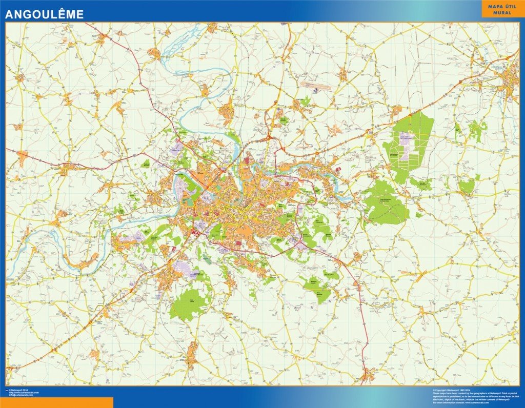
Available in versatile digital formats, the vector map of Angoulême comes in both EPS and AI Illustrator formats. Its fully editable layers allow designers to customize and manipulate various elements to suit their needs. This flexibility makes it a perfect tool for urban planning, educational use, or creative projects.
Users can enjoy the convenience of instant delivery, as the vector map can be downloaded via WeTransfer and email. This ensures that you can access your map quickly and start working immediately without delay.
All purchases include full reproduction rights, making it an ideal choice for clients in over 140 countries. With the vector map of Angoulême, you can confidently incorporate this resource into your projects, knowing that you have complete ownership.