Aurillac carte
Aurillac carte is a detailed vector map of Aurillac, located in the Auvergne region of France. This charming city lies near the banks of the Jordanne River, surrounded by stunning landscapes. With coordinates 44.92° N latitude and 2.44° E longitude, it acts as a gateway to the scenic Cantal mountains and shares borders with the picturesque countryside.
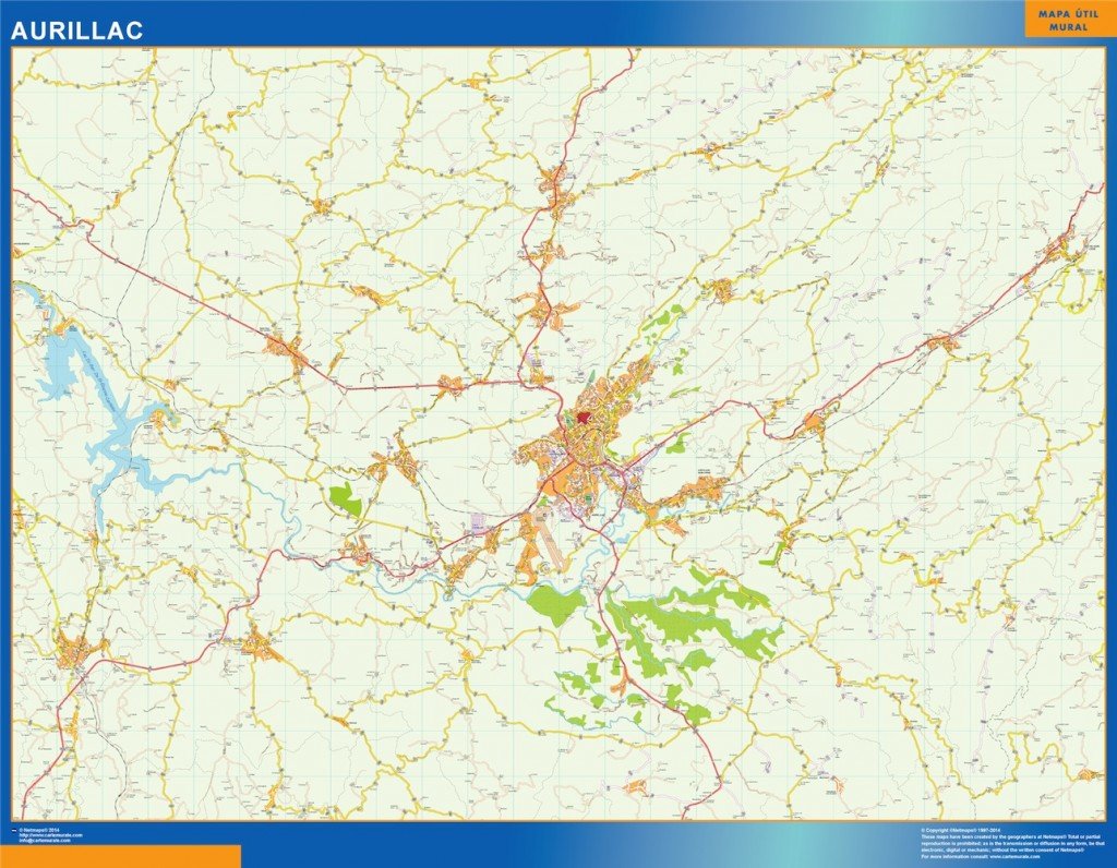
Available in versatile digital formats such as EPS and AI Illustrator, the Aurillac carte vector map features fully editable layers. This functionality allows users to customize the map for various projects, ensuring that all geographical details meet their specific needs, whether for design, analysis, or presentation purposes.
Our vector map is conveniently delivered through instant download via WeTransfer and email, ensuring you have immediate access to your Aurillac carte. This speedy delivery method allows you to begin your project without delay.
Clients in over 140 countries benefit from full reproduction rights, providing the freedom to use the Aurillac carte in any capacity they desire. Whether for personal or commercial use, you can create stunning visualizations, delivering high-quality representations of this beautiful region.