Belgium political
Belgium, located in Western Europe, is bordered by France to the southwest, Luxembourg to the southeast, Germany to the east, and the Netherlands to the north. This politically significant country boasts key cities like Brussels, the capital and administrative center of the European Union, and Antwerp, renowned for its busy port. The major rivers such as the Meuse and the Scheldt also traverse its landscape, making the Belgium political vector map essential for showcasing both geography and governance.
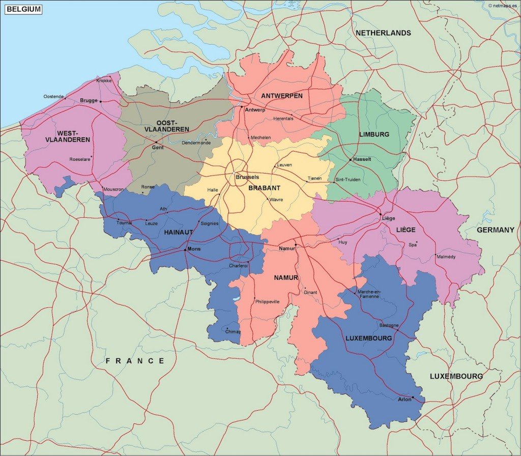
Our Belgium political vector map is available in digital formats such as EPS and AI Illustrator, ensuring full compatibility with design software. Each layer is fully editable, allowing for customization to suit your project's specific needs.
You can easily access the Belgium political vector map through instant download via WeTransfer or your email. This convenient delivery method allows for immediate use in presentations, reports, or creative projects.
With full reproduction rights included, our vector map caters to clients in over 140 countries. This ensures that your designs can be shared and utilized effectively without any legal concerns, making our Belgium political vector map a valuable asset for both professional and personal use.