Bolivia political
Bolivia is a landlocked country located in South America, bordered by Brazil to the north and east, Peru to the west, and Argentina, Paraguay, and Chile to the south. Its coordinates are approximately 16°S latitude and 64°W longitude. Key geographical features include the Andes mountain range, the Altiplano plateau, and major rivers like the Amazon and Rio Paraguay.
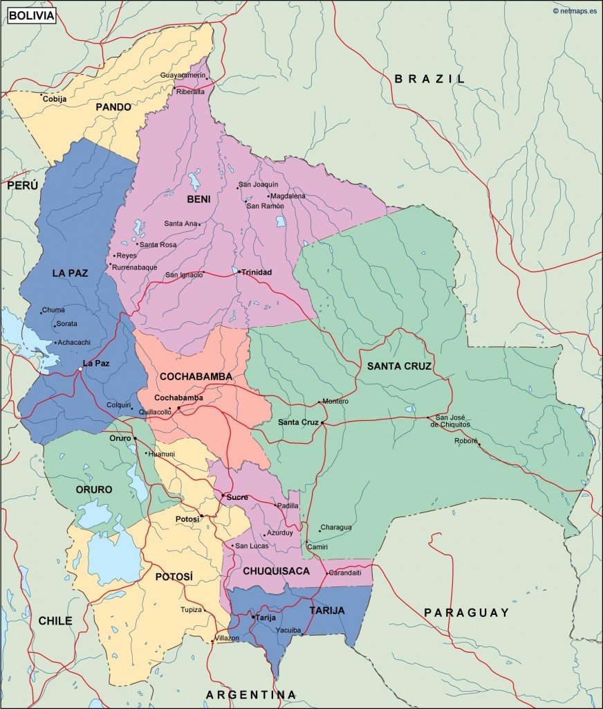
Our Bolivia political vector map is available in versatile digital formats such as EPS and AI, designed for use in Adobe Illustrator and other graphic design software. With fully editable layers, users can easily customize details like city boundaries and geographical features to suit their specific needs.
The vector map can be instantly downloaded through WeTransfer and emailed directly to you, ensuring immediate access. This convenience makes it ideal for professionals needing quick and reliable resources for projects.
When you purchase our Bolivia political vector map, you receive full reproduction rights, making it perfect for commercial use. With clients spanning over 140 countries, our maps are trusted by designers, educators, and businesses alike.