Croatia political
Located in Southeast Europe, Croatia is bordered by Slovenia, Hungary, Serbia, Montenegro, and Bosnia and Herzegovina. Its picturesque coastline along the Adriatic Sea, coupled with key cities like Zagreb, Split, and Rijeka, makes it a significant geographic and cultural hub. The coordinates of Croatia are approximately 45.1° N latitude and 15.2° E longitude, making it an ideal subject for political maps showcasing regions, rivers, and borders.
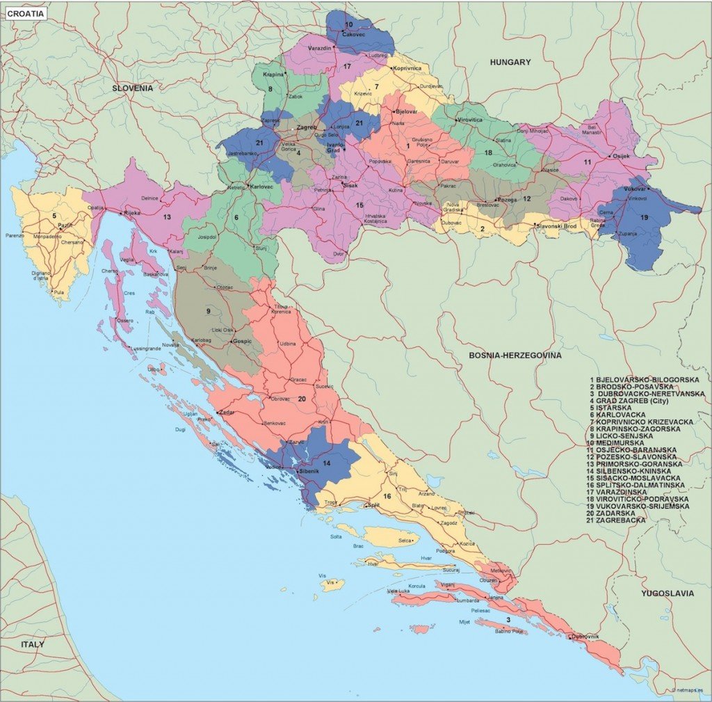
The vector map of Croatia political is available in digital formats such as EPS and AI Illustrator, ensuring compatibility with various design software. With fully editable layers, users can easily customize and adapt the map for specific projects or presentations, enhancing flexibility in design.
You can download the vector map instantly through WeTransfer or receive it directly via email, ensuring quick access for immediate use. This seamless delivery system allows clients to get started on their projects without delay.
Included with the map are full reproduction rights, granting clients the freedom to use the vector map of Croatia political in various applications. With satisfied customers across over 140 countries, this offering caters to a diverse global audience seeking high-quality editable maps for commercial and educational purposes.