Denmark political
Denmark, a Nordic country located in Northern Europe, boasts a politically significant landscape defined by its numerous islands and coastal boundaries. Situated between the North and Baltic Seas, its coordinates are approximately 56.2639° N latitude and 9.5018° E longitude. Key points include the vibrant capital city of Copenhagen, the Gudenå River, and borders with Germany to the south, making a vector map of Denmark political essential for geographic and academic purposes.
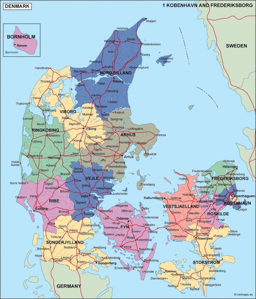
Available in digital formats including EPS and AI Illustrator, this vector map of Denmark political features fully editable layers, offering flexibility for designers and researchers alike. Users can easily customize the map according to specific project requirements while maintaining high resolution and quality for professional presentations.
For convenience, the vector map is available for instant download through WeTransfer and email, ensuring immediate access to your project files. This streamlined delivery method allows users to begin their work right away without any delays in accessing vital geographic information.
With full reproduction rights included, clients enjoy the freedom to utilize the vector map in a variety of applications across over 140 countries. This ensures that the map serves not only as a visual reference but also as a valuable tool for educators, marketers, and developers looking to convey important geographical insights about Denmark.