Dominicana republic
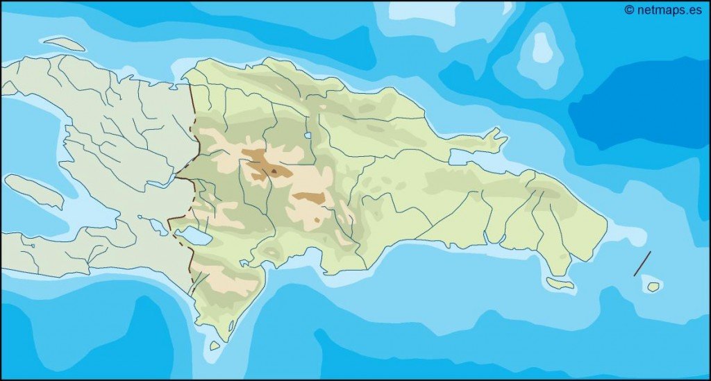
Discover the detailed vector map of the Dominican Republic, a vibrant Caribbean nation located on the island of Hispaniola. Bordered by the Atlantic Ocean to the north and the Caribbean Sea to the south, the Dominican Republic features key geographical points, including the bustling capital city, Santo Domingo, and prominent rivers like the Yaque del Norte. Designed for clarity and precision, the map's coordinates enhance its usability for various projects.
Our vector map is available in popular digital formats such as EPS and AI Illustrator, ensuring seamless integration into your design workflow. Each map comes with fully editable layers, allowing you to customize colors and elements to suit your specific needs.
With our service, you’ll enjoy instant delivery via WeTransfer or email, giving you immediate access to your vector map of the Dominican Republic. This streamlined process helps you get started on your projects without delay.
Clients from over 140 countries benefit from the full reproduction rights included with your purchase. This means you can confidently utilize the editable vector map in your creative endeavors, whether for presentations, publications, or commercial use, ensuring you have the flexibility to make it your own.