Escaldes
Escaldes is a picturesque city located in the principality of Andorra, nestled in the eastern part of the Pyrenees mountains. Positioned at coordinates 42.5078° N latitude and 1.5331° E longitude, Escaldes is bordered by the vibrant capital, Andorra la Vella, and is renowned for its thermal waters and the beautiful Valira River. This scenic region attracts visitors seeking both adventure and relaxation amidst stunning landscapes.
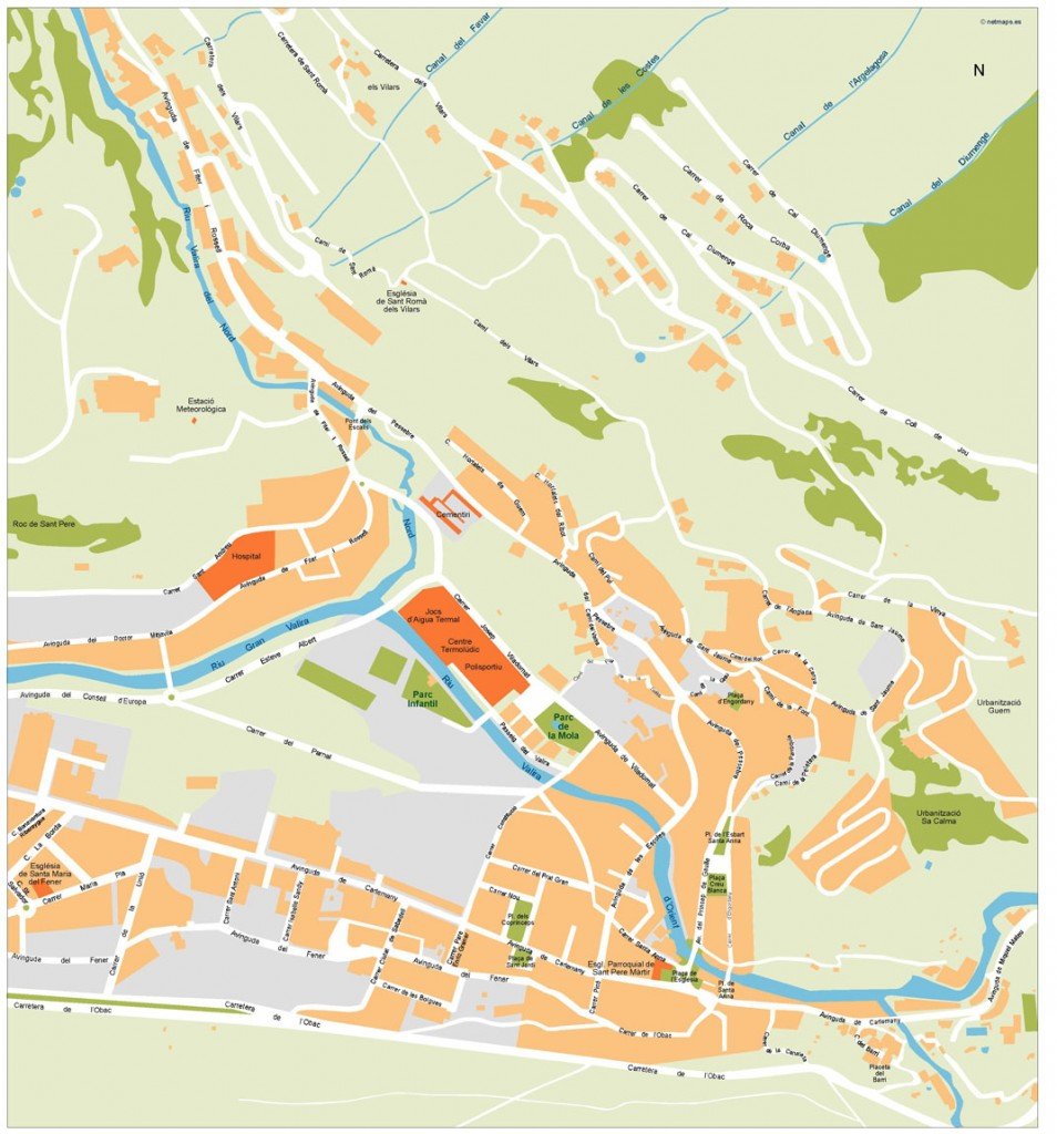
Our vector map of Escaldes is available in versatile digital formats, including EPS and AI Illustrator, making it an ideal choice for designers and planners. With fully editable layers, users have the freedom to customize details effortlessly, ensuring a perfect fit for various projects.
Enjoy the convenience of instant download through WeTransfer and email, allowing you to access your vector map of Escaldes in just moments. This quick and efficient delivery method ensures you can start your projects without delay.
With full reproduction rights included, our vector maps are perfect for clients in over 140 countries. Whether for commercial use or personal projects, you can confidently utilize the Escaldes map, knowing it meets your needs while enhancing your designs.