Federated states of micronesia blind
The vector map of the Federated States of Micronesia (FSM) offers a detailed geographical representation of this Pacific nation, located northwest of Australia and east of the Philippines. Covering over 600 islands, the coordinates of FSM range approximately from 0° to 10°N latitude and 138° to 165°E longitude. Key points include the capital city of Palikir, significant waterways, and neighboring regions that define its boundaries.
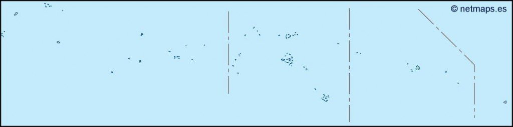
Available in multiple formats, this digital vector map is designed for versatility, including EPS and AI Illustrator files. Each layer is fully editable, allowing users to customize the map features as needed. This flexibility makes it ideal for designers, educators, and businesses looking to create polished presentations or reports.
Clients can enjoy the convenience of instant delivery through WeTransfer and email, ensuring immediate access to this essential resource. This swift service means you can start your project without delay, leveraging the map's features right away.
Purchasing this vector map grants you full reproduction rights, making it suitable for commercial use. With satisfied clients spanning over 140 countries, the Federated States of Micronesia blind map is a trusted choice for professionals worldwide, enhancing projects with high-quality visual assets.