Gdynia mapy ścienne
Gdynia, part of Poland's Tri-City area, is situated on the Baltic Sea coast, making it a strategic location in Northern Europe. It lies at coordinates 54.5025° N latitude and 18.5450° E longitude, bordered by Gdańsk and Sopot. This vibrant city is characterized by its key points, including the bustling waterfront, the Gdynia Harbour, and scenic views along the Klif Orłowski.
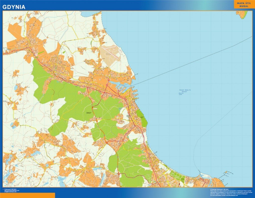
The Gdynia mapy ścienne comes in versatile digital formats, including vector EPS and AI Illustrator files, designed for ease of use. Each map is crafted with fully editable layers, allowing users to customize elements to fit their specific needs, whether for design projects or detailed presentations.
Upon purchase, clients can enjoy an instant download of the map via WeTransfer or email, ensuring fast access to their desired resources. This efficient delivery method makes it convenient for everyone looking to use the Gdynia mapy ścienne immediately.
With full reproduction rights included, clients from over 140 countries can use the Gdynia vector map confidently in their projects. This comprehensive service not only enhances their creative pursuits but also fosters a global appreciation for Gdynia’s unique geography and charm.