Gibraltar
The vector map of Gibraltar is a detailed representation of this British Overseas Territory located at the southern tip of the Iberian Peninsula, bordering the Mediterranean Sea and the Atlantic Ocean. Its geographical coordinates are approximately 36.1408° N latitude and 5.3536° W longitude. Key points of interest include the iconic Rock of Gibraltar, the city center, and its strategic position near the entrance to the Strait of Gibraltar.
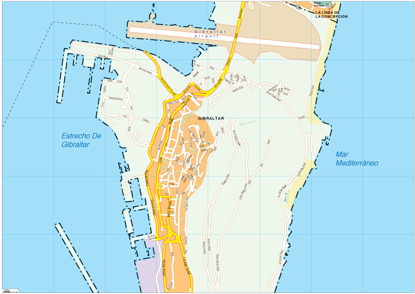
Available in multiple formats, the vector map of Gibraltar can be downloaded in digital vector EPS and AI Illustrator formats. It features fully editable layers that allow for easy customization and personalization, ideal for graphic designers and cartographers seeking detailed mapping solutions.
Customers can enjoy the convenience of instant delivery through WeTransfer and email, ensuring that the vector map is readily available for immediate use. This user-friendly approach simplifies access for those looking to enhance their projects with detailed cartographic design elements.
Clients benefit from full reproduction rights included with their purchase, providing peace of mind for use in various applications. With customers spanning over 140 countries, the vector map of Gibraltar has become a trusted resource for professionals worldwide, enhancing global reach and design capabilities.