Guatemala political
The vector map of Guatemala's political landscape offers a detailed look at this Central American nation, located between Mexico to the north and Belize to the east. With coordinates approximately 15.7835° N latitude and 90.2308° W longitude, it encompasses key cities such as Guatemala City and important rivers like the Motagua. Borders with Honduras and El Salvador are also prominently featured, making this map an essential tool for anyone studying the region.
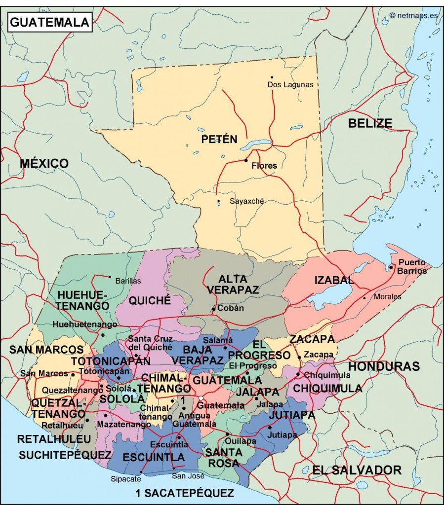
Available in digital formats such as EPS and AI Illustrator, this vector map of Guatemala is designed with fully editable layers, allowing for easy customization and integration into various projects. Whether you're updating educational materials or creating promotional content, its versatility meets diverse needs.
Upon purchase, you can enjoy instant delivery through WeTransfer and email, ensuring quick access to your vector map of Guatemala's political features. This convenient process makes it hassle-free for users on the go.
With full reproduction rights included, this map serves clients in over 140 countries, giving you the freedom to use it in countless applications, from presentations to publications. Discover the potential of this editable vector map and enhance your work today.