Haiti political
Haiti, located on the island of Hispaniola in the Caribbean, lies between the Atlantic Ocean and the Caribbean Sea. With coordinates at 18.9712° N latitude and 72.2855° W longitude, Haiti shares a border with the Dominican Republic and features key points like the capital city, Port-au-Prince, as well as significant rivers such as the Artibonite. A comprehensive vector map of Haiti political highlights these geographical features, making it an essential tool for students, researchers, and professionals.
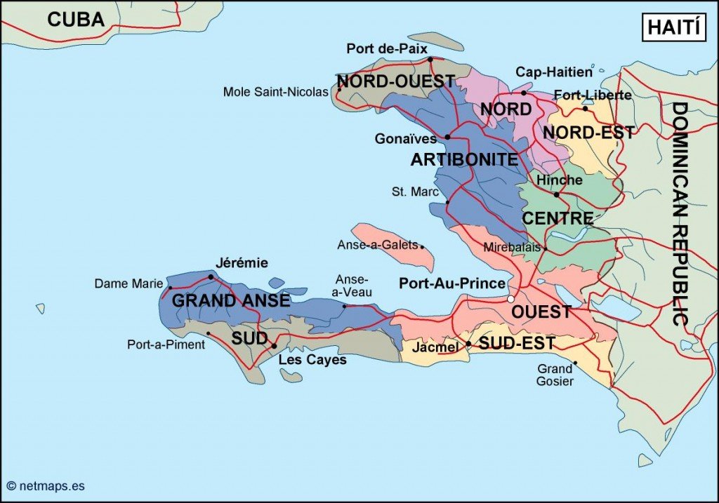
This vector map is available in digital formats such as EPS and AI Illustrator, ensuring compatibility with various graphic design software. Fully editable layers allow users to customize the map according to their needs, whether for educational projects, presentations, or professional use.
Our vector map is delivered immediately via WeTransfer and email, providing a seamless experience for clients. You can start using your map without delay, streamlining your workflow and enhancing productivity.
With full reproduction rights included, our vector maps serve clients in over 140 countries. This guarantees that users can freely utilize and publish the map for both personal and commercial projects, ensuring comprehensive global reach and adaptability for various applications.