Ireland blind
The vector map of 'Ireland blind' offers a detailed depiction of Ireland’s geographical features. Located in Western Europe, Ireland is bordered by the Atlantic Ocean, with notable cities like Dublin and Cork seamlessly included in the design. Key features such as the River Shannon, the longest river in Ireland, and prominent borders are highlighted, ensuring a comprehensive understanding of this captivating region.
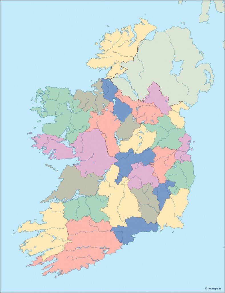
Available in multiple formats, including digital vector EPS and AI Illustrator, this vector map features fully editable layers, allowing for easy customization to suit various projects. Users can manipulate the design effortlessly, making it a perfect resource for designers and cartographers alike.
Providing convenience, the delivery of the 'Ireland blind' vector map is seamless, with instant downloads available through WeTransfer and email, ensuring you receive your map quickly and easily.
Clients around the world can utilize this map with confidence, as it comes with full reproduction rights. With satisfied customers in over 140 countries, the 'Ireland blind' vector map is a trusted choice for creatives seeking high-quality mapping solutions.