Israel presentation
Israel is located in the Middle East, bordered by the Mediterranean Sea to the west, and sharing borders with Lebanon, Syria, Jordan, and Egypt. Its geographic coordinates are approximately 31.0461° N latitude and 34.8516° E longitude. Key landmarks include the bustling city of Jerusalem, the fertile Jordan River, and the strategic borders that define this unique nation, making the vector map of Israel an essential tool for geography enthusiasts and professionals alike.
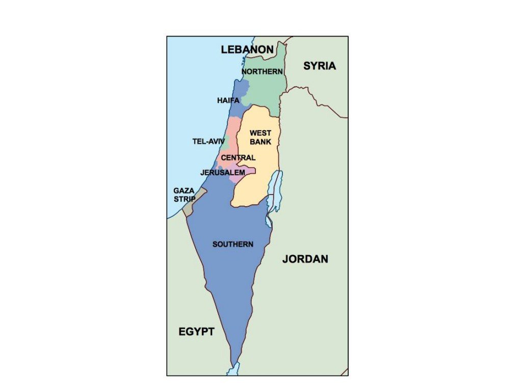
Our vector map of Israel is available in digital formats such as EPS and AI for Adobe Illustrator, ensuring full compatibility with your design projects. Each layer is fully editable, allowing you to customize the map according to your needs, whether for educational use, presentations, or graphic design. This flexibility gives you complete control to highlight specific areas and details.
Upon purchase, you can enjoy instant access to your vector map of Israel through convenient download options via WeTransfer or email, ensuring you receive your digital product promptly. This quick delivery allows you to start your projects without delay, making it perfect for urgent requirements or last-minute presentations.
With full reproduction rights included, you can utilize the vector map for commercial or personal projects across the globe. Clients from over 140 countries benefit from our comprehensive licensing, allowing