Le puy carte 2025-12-09 12:00:11
Le Puy-en-Velay, located in the Auvergne region of France, boasts a rich geography characterized by its unique volcanic landscape. Positioned at coordinates 45.0436° N latitude and 3.8808° E longitude, this picturesque city lies near the confluence of the Loire and the Gazeille rivers, making it a key point of interest in the region. Its stunning natural features and historical landmarks draw visitors and map enthusiasts alike.
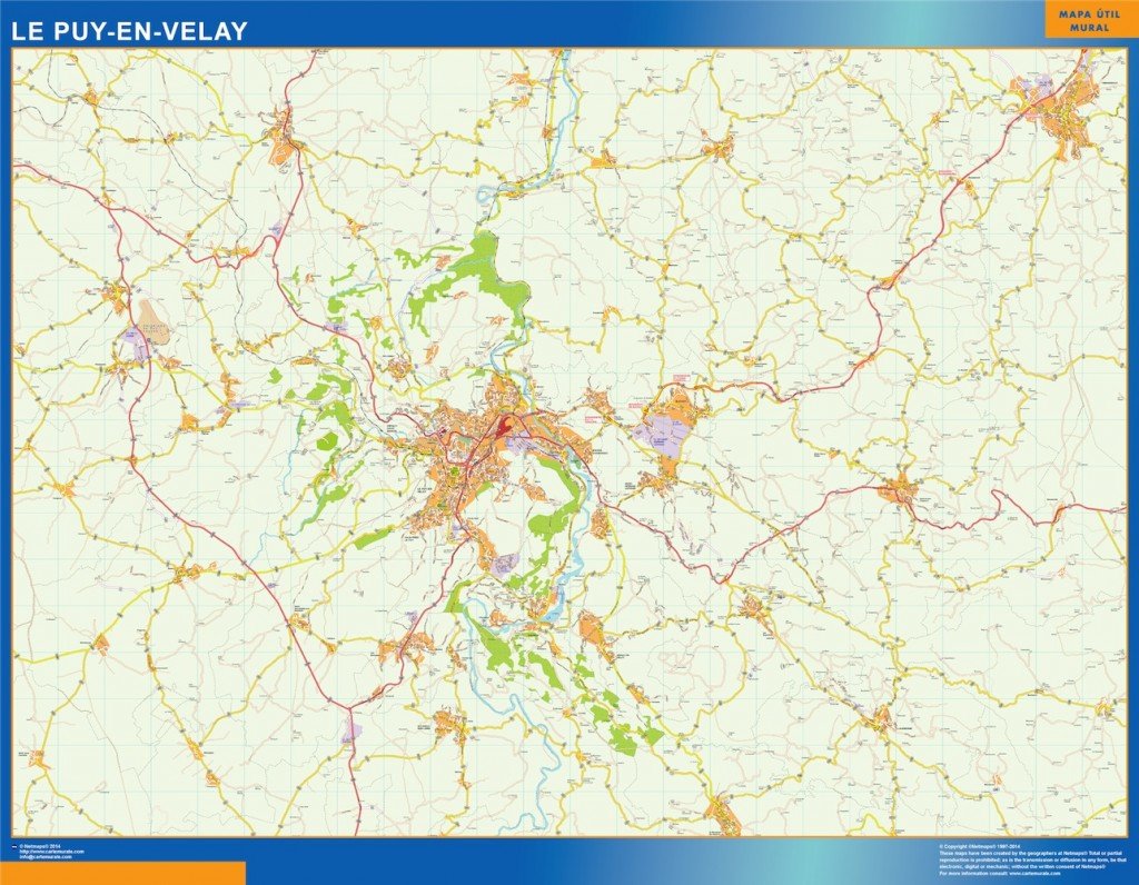
The vector map of Le Puy is available in digital formats such as EPS and AI Illustrator, ensuring that users can easily customize and edit the map to suit their needs. With fully editable layers, designers can manipulate elements of the map seamlessly, making it a versatile tool for various projects.
Upon purchase, the vector map of Le Puy is available for instant download via WeTransfer or email, providing a hassle-free experience for users needing immediate access to high-quality geographical data. This user-friendly delivery method guarantees that you can start working with the map right away.
Clients from over 140 countries benefit from full reproduction rights when using the vector map. This flexibility encourages creative applications in both personal and professional projects, making the Le Puy carte an invaluable resource for graphic designers and cartographers around the globe