Malaysia blind
The vector map of Malaysia blind is a comprehensive geographic representation of this Southeast Asian nation, located between latitudes 1° and 7° N and longitudes 100° and 119° E. Key points on the map include vibrant cities like Kuala Lumpur, significant rivers such as the Sungai Rajang, and borders that encapsulate both Peninsular Malaysia and East Malaysia on the island of Borneo.
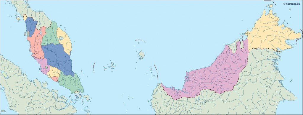
Available in versatile digital formats like EPS and AI Illustrator, the vector map offers fully editable layers for seamless customization. Designers can easily manipulate various elements, ensuring that the map meets specific project requirements or thematic considerations.
Once purchased, users can enjoy the convenience of instant delivery via WeTransfer and email, allowing for immediate access to high-quality vector files. This makes it perfect for designers and businesses needing quick integration into their projects.
Included with your purchase are full reproduction rights, making the vector map of Malaysia blind suitable for clients in over 140 countries. This ensures that your creative work remains protected while allowing for global distribution and presentation.