Maldives political
The Maldives, located in the heart of the Indian Ocean, consists of 26 atolls and boasts coordinates of approximately 3.2028° N latitude and 73.2207° E longitude. This stunning archipelago is known for its picturesque islands, vibrant coral reefs, and significant urban centers like Malé, the bustling capital. The political map highlights key features including important borders and geographical distinctions essential for political analysis and planning.
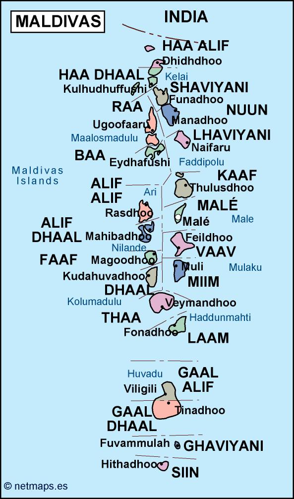
Our vector map of Maldives political is available in high-quality digital formats, including EPS and AI Illustrator. Fully editable layers allow for seamless customization, ensuring that users can adjust the map to fit specific design or analytical needs. This versatility makes it an ideal resource for educators, geographers, and businesses alike.
Delivery is quick and straightforward, with instant download options available through WeTransfer and email. Once your payment is processed, you’ll receive immediate access to your vector map, allowing you to start your project without delay.
Purchasing our vector map grants you full reproduction rights, providing you with the freedom to use it for varied applications. With clients across over 140 countries, our product is trusted and utilized by professionals worldwide for projects ranging from academic research to commercial presentations.