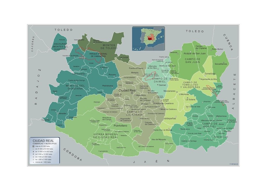
Mapa municipios ciudad real
The vector map of Mapa municipios Ciudad Real accurately showcases this Spanish province located in the central part of the country, bordered by the provinces of Toledo, Cuenca, and Jaén. With coordinates 38.9863° N latitude and 3.9272° W longitude, it highlights key geographical features, including the city of Ciudad Real itself and significant rivers like the Guadiana.
Available in digital vector formats like EPS and AI Illustrator, this map comes with fully editable layers, allowing users to customize and modify the content according to their specific needs. This flexibility makes it an invaluable resource for designers, cartographers, and educators alike.
Upon purchase, customers can expect instant delivery via WeTransfer or email, ensuring quick access to this essential tool for projects and presentations.
Best of all, this vector map includes full reproduction rights, granting clients in over 140 countries the freedom to use it for various applications without restrictions.