Marshall islands 2025-12-06 12:00:31
The vector map of the Marshall Islands offers a detailed depiction of this unique Pacific island nation, situated between the Philippines and Hawaii, with coordinates at approximately 7°N latitude and 171°E longitude. This map highlights key features such as Majuro, the capital city, and various atolls and reefs that define the country's geography, providing an informative resource for travelers and researchers alike.
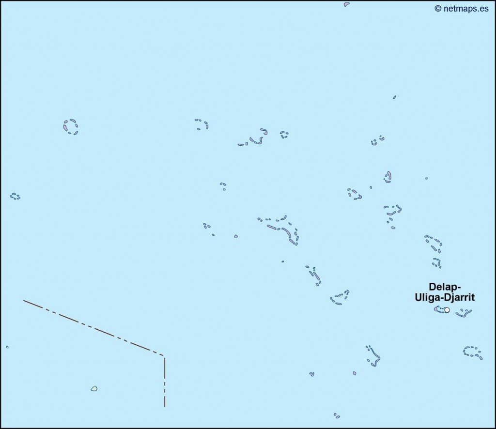
Available in versatile digital formats, including EPS and AI Illustrator, this vector map is fully editable with layers, allowing users to customize the details to suit their specific needs. Whether for personal, educational, or commercial use, this resource provides an excellent platform for creating tailored cartographic projects.
Delivery is swift and convenient, with instant downloads available via WeTransfer and email. Customers can easily access the map and begin working on their projects without delay, ensuring a hassle-free experience from start to finish.
With full reproduction rights included, clients enjoy peace of mind knowing they can use the vector map of the Marshall Islands in over 140 countries without restrictions. This comprehensive offer makes it an attractive option for designers, educators, and businesses searching for high-quality cartographic materials.