Mauritania presentation
Mauritania is situated in Northwest Africa, bordered by the Atlantic Ocean to the west, with coordinates ranging from 15°N to 27°N and 5°W to 17°W. This diverse country features key geographical points such as the capital city, Nouakchott, the Senegal River to the south, and borders with Mali, Algeria, and Western Sahara. Understanding the geography of Mauritania is essential for any effective vector map presentation.
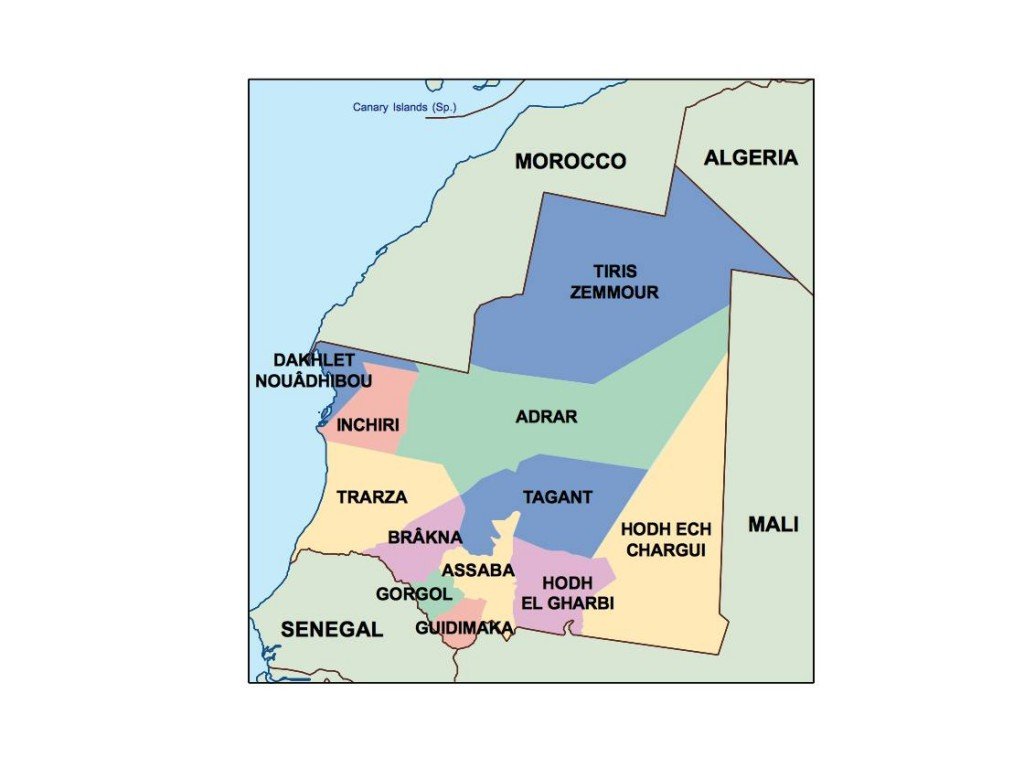
Our vector map of Mauritania comes in high-quality digital formats including EPS and AI Illustrator, ensuring full compatibility with professional design software. Each layer of the map is fully editable, allowing users to customize colors, labels, and additional geographic details, making it ideal for presentations and educational materials.
Delivery is a breeze with our instant download options. After purchase, you can quickly receive your vector map of Mauritania via WeTransfer or email, getting you started on your project without delay.
Included in your purchase are full reproduction rights, meaning you can use the vector map in various projects without restrictions. Our clientele spans over 140 countries, showcasing the global appeal and versatility of our products for professionals in diverse industries.