Poland political
Poland, located in Central Europe, shares borders with Germany, Czech Republic, Slovakia, Ukraine, Belarus, Lithuania, and Russia. Its geographic coordinates are approximately 52.00° N latitude and 19.00° E longitude. Key points of interest include the bustling capital city of Warsaw, the Vistula River flowing through its heart, and the scenic Tatra Mountains to the south. The vector map of Poland political showcases these significant features, making it an essential resource for cartographers and businesses alike.
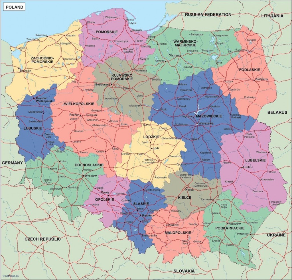
Available in versatile formats like digital vector EPS and AI Illustrator, this high-quality map offers fully editable layers, allowing for personalized modifications. Whether you’re preparing a presentation, a report, or an educational tool, the vector map of Poland political ensures flexibility and precision in your designs.
Upon purchase, expect an instant download through both WeTransfer and email, ensuring convenient access to your assets. This quick and efficient delivery system guarantees you can start working on your projects without delay.
With full reproduction rights included, clients from over 140 countries can utilize this vector map for various applications, from academic publications to marketing campaigns. Trust the vector map of Poland political to enhance your work while respecting copyright protocols.