Puerto rico presentation
Puerto Rico, located in the Caribbean Sea, is an unincorporated territory of the United States, known for its vibrant culture and scenic landscapes. This vector map offers a precise representation of Puerto Rico's geography, including its coordinates of approximately 18.2208° N latitude and 66.5901° W longitude. Key points such as San Juan, the capital city, and significant rivers like the Río Grande de Loíza are clearly marked, making it ideal for presentations focused on geography and tourism.
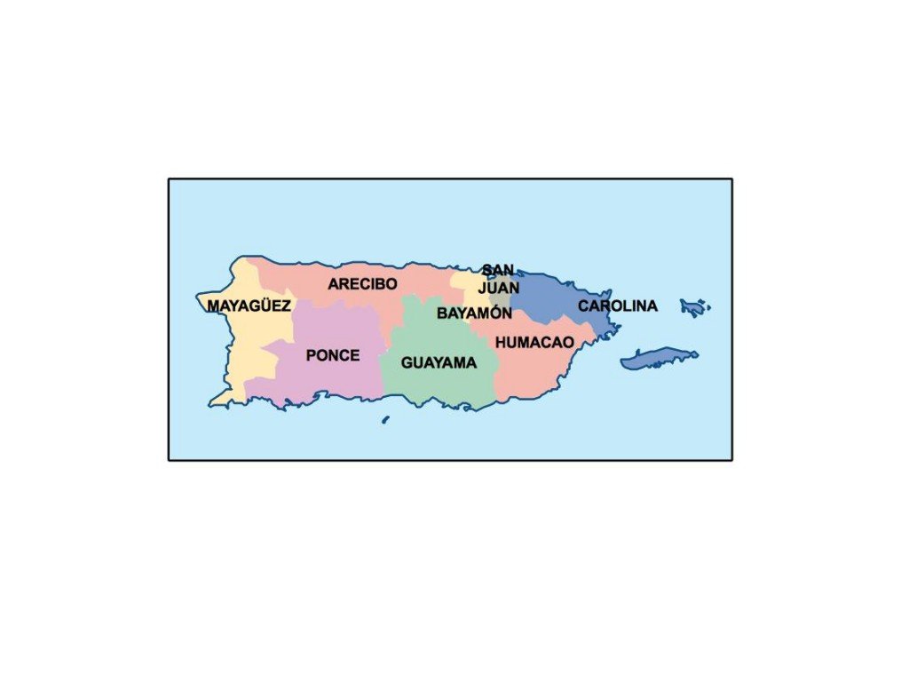
This vector map of Puerto Rico is available in versatile digital formats, such as EPS and AI for Adobe Illustrator, ensuring fully editable layers for easy customization. With this, users can modify elements to suit specific design needs, enhancing creativity in presentations or publications.
For convenience, instant download of the vector map can be obtained via WeTransfer or email, allowing you to access the file promptly. This seamless delivery ensures that you can start working on your presentation without delay.
When you purchase this vector map, you receive full reproduction rights, permitting use in various projects without restriction. Our satisfied clients span over 140 countries, reflecting the global demand for high-quality, editable resources like this Puerto Rico map, perfect for informative and engaging presentations.