Santo domingo 2025-12-02 00:00:29
The vector map of Santo Domingo is an essential resource for anyone interested in the capital of the Dominican Republic. Located on the southern coast of the island of Hispaniola, Santo Domingo sits at coordinates 18.4861° N latitude and 69.9312° W longitude. Key geographic features include the Ozama River, which flows through the city, and its proximity to the Caribbean Sea, making it a pivotal hub in the region.
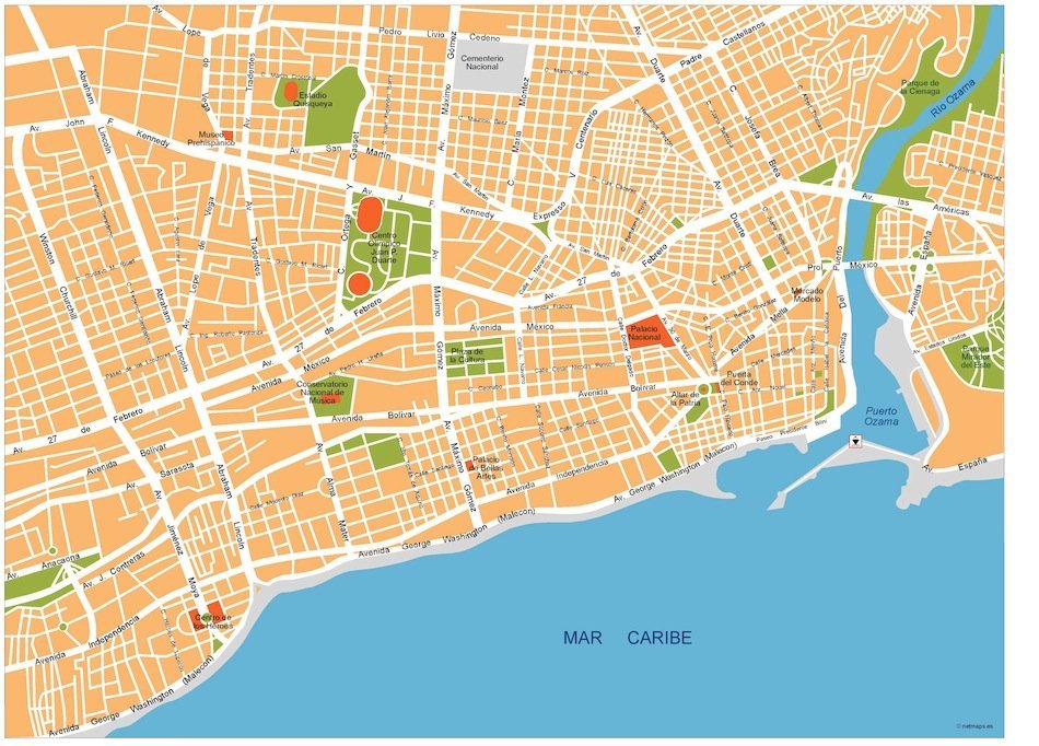
This detailed map is available in digital vector formats like EPS and AI Illustrator, providing fully editable layers for easy customization. Whether you're creating a presentation, marketing campaign, or educational content, the flexibility of these formats ensures that your designs can be tailored to your needs effortlessly.
Enjoy the convenience of instant delivery with our vector map of Santo Domingo. You can receive your download via WeTransfer or directly through email, streamlining your workflow and allowing you to get started on your projects without delay.
With full reproduction rights included, clients in over 140 countries trust our vector map for their various applications. This ensures that whether you're a designer, educator, or business professional, you can utilize and share the Santo Domingo map freely and confidently in your endeavors.