Singapore political
The vector map of Singapore political showcases this vibrant city-state located at the southern tip of the Malay Peninsula in Southeast Asia. With coordinates approximately 1.3521° N latitude and 103.8198° E longitude, Singapore is characterized by its urban landscape, the iconic Marina Bay, and its position along the Singapore River. As a key financial hub, its map outlines the essential areas, districts, and borders that define its intricate geography.
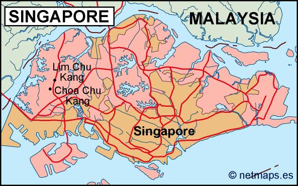
Available in various digital formats, the vector map comes in EPS and Adobe Illustrator (AI), ensuring that users can easily customize the layers to highlight important features or add specific data. The fully editable layers allow for seamless integration into any design project, making it a versatile tool for urban planners, educators, and businesses.
To enhance user experience, the vector map can be instantly downloaded via WeTransfer or directly through email, enabling immediate access to essential cartographic resources. This efficient delivery method ensures that you can begin your work without delay, facilitating timely projects.
Each purchase includes full reproduction rights, making it an ideal choice for clients in over 140 countries. This ensures you can utilize your Singapore political vector map in various applications, from commercial use to educational purposes, without any restrictions, promoting global accessibility.