Sri lanka presentation
The vector map of Sri Lanka presentation highlights the country's geographical features, including its strategic location in South Asia. Bordered by the Indian Ocean, the island nation is situated at coordinates 7.8731° N latitude and 80.7718° E longitude. Key points of interest include the bustling capital city of Colombo, the stunning Kandy Lake, and the longest river, the Mahaweli. This detailed map serves as an essential resource for understanding Sri Lanka’s diverse landscapes.
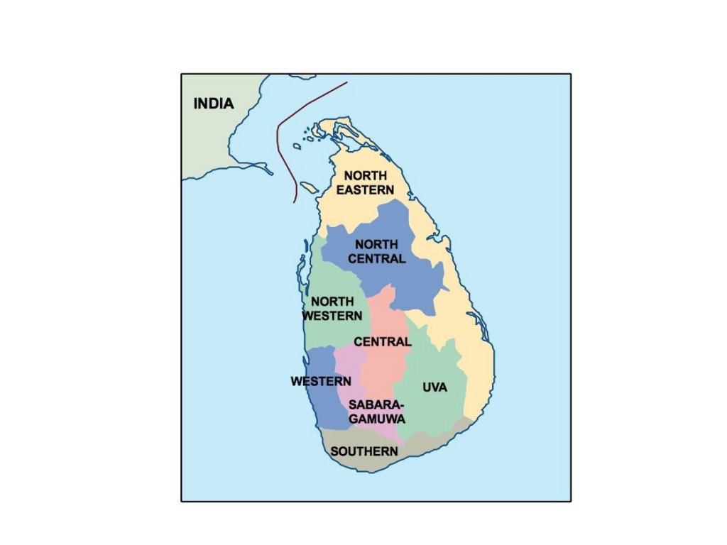
Available in digital formats like EPS and AI Illustrator, our vector map provides fully editable layers, allowing for seamless customization. This flexibility makes it an ideal tool for presentations, educational materials, or creative projects. Users can easily modify colors, add labels, or highlight specific regions to suit their needs.
Upon purchase, you can enjoy instant delivery through WeTransfer or email, ensuring immediate access to your vector map of Sri Lanka. The user-friendly format guarantees a smooth experience for professionals, students, and enthusiasts alike.
With full reproduction rights included in your purchase, you can utilize the vector map for various purposes. Our clients span over 140 countries, reflecting the global appeal and versatility of our high-quality cartographic offerings. Whether you’re creating educational content, promotional materials,