Syria
The vector map of Syria showcases the country's intricate geography, positioned in the heart of the Middle East. Bordered by Turkey to the north, Iraq to the east, and Lebanon and Israel to the southwest, Syria's geographic coordinates are approximately 33° N latitude and 38° E longitude. Key points of interest include the vibrant city of Damascus, the Euphrates River, and the scenic coastal regions along the Mediterranean.
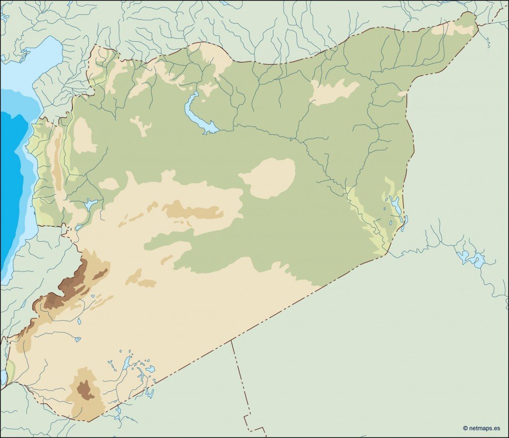
Our vector map of Syria is available in popular formats such as digital vector EPS and AI Illustrator, offering fully editable layers for your convenience. This flexibility allows designers and geographers to customize the map according to their specific needs, ensuring an ideal fit for presentations or projects.
The delivery of your vector map is streamlined for convenience, enabling instant downloads through WeTransfer and email. This efficient process allows you to access your map without delay, ensuring a quick turnaround for your mapping needs.
With full reproduction rights included, our vector map of Syria caters to clients in over 140 countries. This broad reach ensures that businesses and organizations can utilize the map for various purposes, from educational materials to commercial projects, with confidence and legal peace of mind.